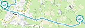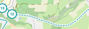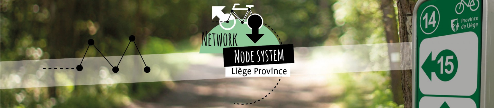
Avid cycling tourists already know how the points-nœuds bike network in the Province of Liège works. You can plan your own route using our interactive map.
Create your itinerary by selecting a starting point, then continue to select points-nœuds by simply clicking on the numbers until you reach the desired destination. The number of kilometres involved will be displayed automatically. You can also ask the planner to suggest a custom itinerary using the ‘Surprise me’ feature (the gift icon on the right).
When your route is complete, click on ‘Done’ to print one of the detailed maps available to you, which range from simple one-page maps to much more comprehensive maps that span several pages. This tool will become your travel companion for planning all of your cycle routes and excursions. Cycle tourism has never been so easy!