Around the windmill


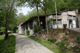
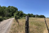
Departing from Moulin du Broukay, take on a first climb towards the natural site of Saint-Pierre mountain, which is known for its orchids and its caves that are full of bats. Next, calmly cycle along the banks of the Meuse before a second and final climb to Hauts de Froidmont, where you will find a barbecue area and an orchard that is home to 80 species of tall trees. Located in a natural setting, the site is also home to an abandoned quarry with majestic chalk cliffs, as well as quite diversified woodlands.
Next, take the small paths through fields and villages to reach the starting point.
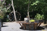
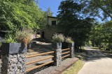
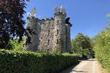
Don’t hesitate to visit or eat at Moulin du Broukay, a centre for culture, leisure, and recreational activities. There is also the Eben-Ezer Tower and its museum, which are located a little higher up. This large flint-rubble tower is surmounted by sculptures of winged animals, representing the cherubim from the vision of Ezekiel. Inside, relive the adventure of this unique construction and discover the flint.
Eat and drink: Houtain-Saint-Siméon, Bassenge, Eben-Emael, and many bars/terraces along the Meuse.
Next, take the small paths through fields and villages to reach the starting point.
Don’t hesitate to visit or eat at Moulin du Broukay, a centre for culture, leisure, and recreational activities. There is also the Eben-Ezer Tower and its museum, which are located a little higher up. This large flint-rubble tower is surmounted by sculptures of winged animals, representing the cherubim from the vision of Ezekiel. Inside, relive the adventure of this unique construction and discover the flint.
Eat and drink: Houtain-Saint-Siméon, Bassenge, Eben-Emael, and many bars/terraces along the Meuse.
- Difficulty: Easy
- Elevation: 192 m
- Distance: 32 km
- Starting point: Moulin du Broukay car park (Chemin de Broukay, 8 - 4690 Bassenge)
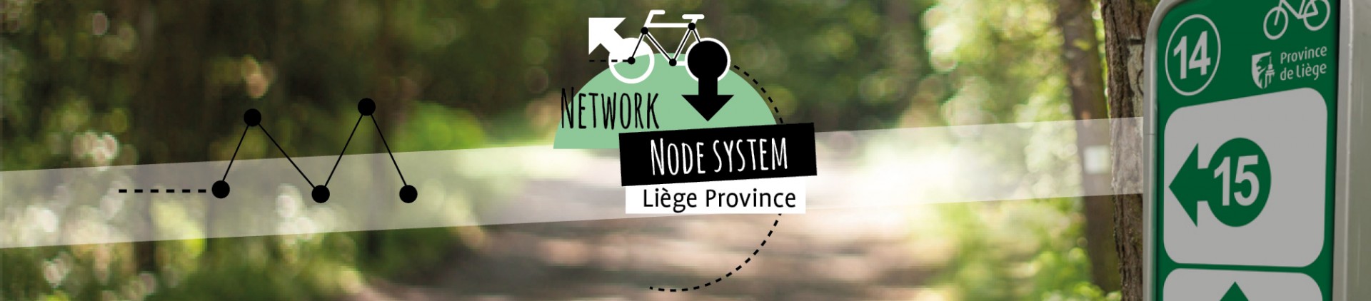
- Node points to follow: 5 → 402 (Limburg BE) → 401 (Limburg BE) → 11 → 16 → 13 → 14 → 40 → 41 → 15 → 10 → 7 → 32 → 5
- Download the walk
Itinéraire

 Departure/Arrival
 Point of interest
Circuit n° 1
Nodes to follow5 → 402 (Limburg BE) → 401 (Limburg BE) → 11 → 16 → 13 → 14 → 40 → 41 → 15 → 10 → 7 → 32 → 5
- Difficulty :
- Easy
- Height variation :
- 192 m
- Distance :
- 32 kms
- Departure :
- Lieu de départ Bassenge