Ferrières loop
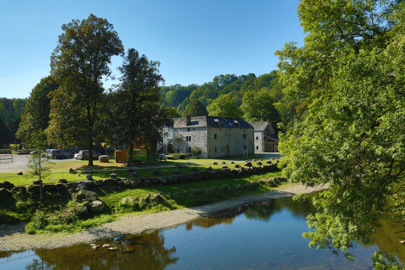
Be aware, you’re off for 33 km that will take you to the four corners of the vast municipality of Ferrières. An unmissable landmark in the area is St Martin’s church with its new sanded stainless steel bell. It’s worth a few photos. You’ll then cycle along towards the ‘border’ with Luxembourg Province, close to Izier (Durbuy). Head for Vieuxville, the ruins of Logne Fortified Castle and the Palogne Estate, whose Tavern will help you regain your strength.
After a break, head for Xhoris via Filot (Hamoir). And back to the centre of Ferrières via the Transferrusienne, following the old tram line 579 which used to connect Comblain and Manhay.
After a break, head for Xhoris via Filot (Hamoir). And back to the centre of Ferrières via the Transferrusienne, following the old tram line 579 which used to connect Comblain and Manhay.
- Difficulty: Difficult
- Elevation: 559 m
- Distance: 33 km
- Starting point: Place de Chablis - 4190 Ferrières
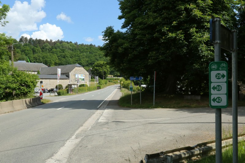
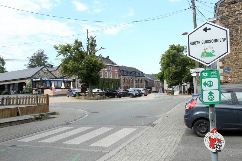
- Nodes to follow: 52 → 54 → 51 → 50 → 55 → 32 → 29 → 40 → 40 → 42 → 49 → 48 → 47 → 58 → 59 → 60 → 57 → 53 → 52
- Download the walk
Itinéraire

 Departure/Arrival
 Point of interest
Circuit n° 1
Nodes to follow52 → 54 → 51 → 50 → 55 → 32 → 29 → 40 → 40 → 42 → 49 → 48 → 47 → 58 → 59 → 60 → 57 → 53 → 52
- Difficulty :
- Difficult
- Height variation :
- 559 m
- Distance :
- 33 kms
- Departure :
- Lieu de départ Ferrières


