Hesbaye Basse-Meuse


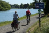
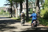
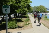
Starting from Pont Atlas on the outskirts of Liège, you will take the RAVel network along the Meuse river and the Albert canal towards Maastricht. Upon reaching Visé, you will then pass a former quarry and pass through various typical parts of the region. The end of the route will take you to Thier-à-Liège, an authentic green belt located a stone’s throw from Liège city center, for a gentle descent towards your starting point.
- Difficulty: Medium
- Elevation: 127 m
- Distance: 41 km
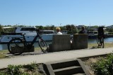
- Starting point: Quai de Wallonie – 4000 Liège
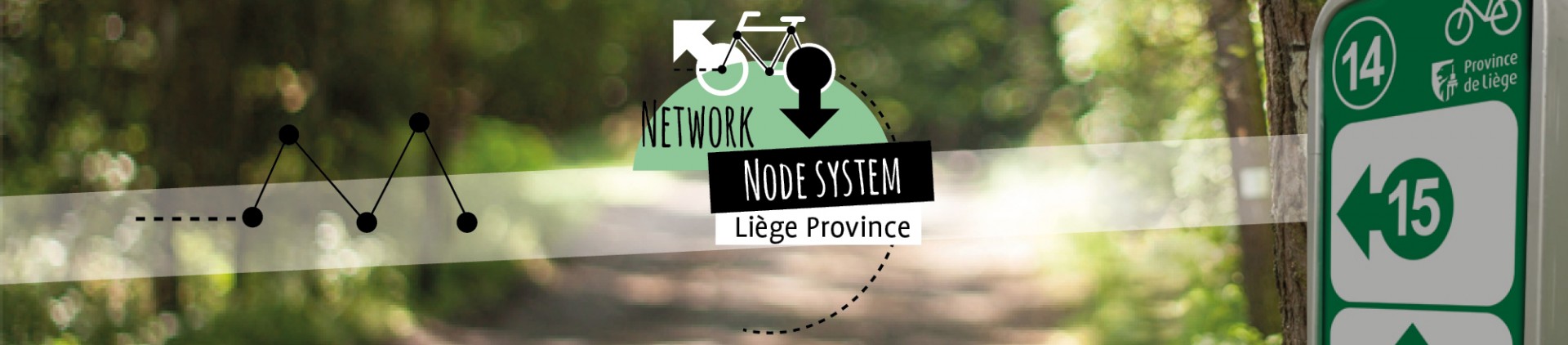
- Nodes to follow: 31 → 30 → 17 → 44 → 45 → 46 → 47 → 40 to 41 to 15 → 10 → 19 → 18 → 23 → 22 → 27 → 38 → 31
- Download the walk
Itinéraire

 Departure/Arrival
 Point of interest
Circuit n° 1
Nodes to follow31 → 30 → 17 → 44 → 45 → 46 → 47 → 40 → 41 → 15 → 10 → 19 → 18 → 23 → 22 → 27 → 38 → 31
- Difficulty :
- Medium
- Height variation :
- 127 m
- Distance :
- 41 kms
- Departure :
- Lieu de départ Liège