Slag heaps and collieries walk


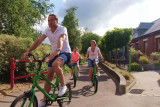
The country roads on this route criss-cross the Pays de Herve between the hills and small valleys of the region.
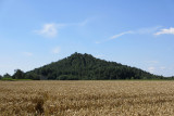
Leaving from the Tourist Information Centre, set off to discover this region with a heritage steeped in history, folklore and industry. Slag heaps and collieries are dotted along your nearly 33 km route.
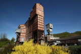
Via the famous Line 38 of the RAVeL, reach the Terril du Hasard slagheap in Retinne where there’s a wonderful sports and educational leisure area that’s free to all. The route then takes you to the Fort de Barchon (guided tour at 2pm every second Sunday from April to November).
Don’t miss a visit to Blegny-Mine. Along with three other Belgian mines, Blegny-Mine is a UNESCO World Heritage Site. As well as descending into the mine, you can observe the landscape from the top of the slag heap, relax and cool down at the Puits sans Faim well.
If you’re not so brave, there’s a shortcut that will cut the route by 8km.
Don’t forget to enjoy the beautiful countryside and hedged farmland of the Pays de Herve, before regaining Line 38 to return to the starting point.
Eat and drink: in Retinne, Barchon, Blegny, Blegny-Mine and Herve
Leaving from the Tourist Information Centre, set off to discover this region with a heritage steeped in history, folklore and industry. Slag heaps and collieries are dotted along your nearly 33 km route.
Via the famous Line 38 of the RAVeL, reach the Terril du Hasard slagheap in Retinne where there’s a wonderful sports and educational leisure area that’s free to all. The route then takes you to the Fort de Barchon (guided tour at 2pm every second Sunday from April to November).
Don’t miss a visit to Blegny-Mine. Along with three other Belgian mines, Blegny-Mine is a UNESCO World Heritage Site. As well as descending into the mine, you can observe the landscape from the top of the slag heap, relax and cool down at the Puits sans Faim well.
If you’re not so brave, there’s a shortcut that will cut the route by 8km.
Don’t forget to enjoy the beautiful countryside and hedged farmland of the Pays de Herve, before regaining Line 38 to return to the starting point.
Eat and drink: in Retinne, Barchon, Blegny, Blegny-Mine and Herve
- Difficulty: Medium
- Elevation: 248 m (or 208 m)
- Distance: 32,6 km (or 24,6 km)
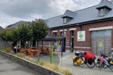
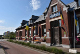
- Starting point: Place de la Gare, 1 (Tourist Office) - 4650 Herve
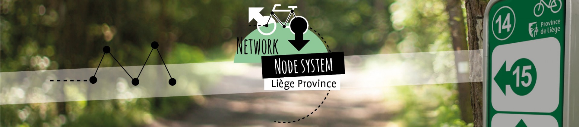
- Node points to follow: 42 → 41 → 38 → 29 → 28 → 26 → (15 → 13 → 17) → 25 → 23 → 22 → 43 → 42
- Download the walk
Itinéraire

 Departure/Arrival
 Point of interest
Circuit n° 1
Nodes to follow42 → 41 → 38 → 29 → 28 → 26 → (15 → 13 → 17) → 25 → 23 → 22 → 43 → 42
- Difficulty :
- Medium
- Height variation :
- 248 m
- Distance :
- 32,6 kms
- Departure :
- Lieu de départ Herve