Stroll of the Three Borders


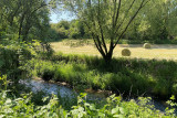
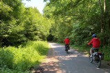
This family walk forms a bucolic circuit through the hedged farmland, mostly away from traffic. Starting in Aubel, it takes you to Plombières and Henri-Chapelle in the Three Borders region and the Gueule Valley.
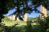
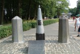
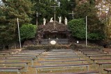
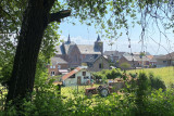
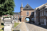
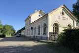
There's no shortage of sights along the way: typical farmhouses, old railway stations, panoramic views, the Plombières mining site, the Moresnet viaduct and calvary and more.
Eat and drink: this bike ride takes in numerous places to eat in Hombourg, Moresnet, Welkenraedt, Clermont, and Aubel.
There's no shortage of sights along the way: typical farmhouses, old railway stations, panoramic views, the Plombières mining site, the Moresnet viaduct and calvary and more.
Eat and drink: this bike ride takes in numerous places to eat in Hombourg, Moresnet, Welkenraedt, Clermont, and Aubel.
- Difficulty: Medium
- Elevation: 530 m
- Distance: 52 km
- Starting point: Rue du Casino, 15 (Eco-parking of the mining site) - 4850 Plombières
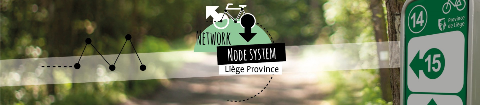
- Node points to follow: 60 → 3 → 91 → 5 → 6 → 4 → 7 → 8 → 11 → 12 → 13 → 14 → 78 → 77 → 45 → 46 → 47 → 48 → 51 → 52 → 53 → 54 → 55 → 57 → 58 → 60
- Download the walk
Itinéraire

 Departure/Arrival
 Point of interest
Circuit n° 1
Nodes to follow60 → 3 → 91 → 5 → 6 → 4 → 7 → 8 → 11 → 12 → 13 → 14 → 78 → 77 → 45 → 46 → 47 → 48 → 51 → 52 → 53 → 54 → 55 → 57 → 58 → 60
 |
- Difficulty :
- Medium
- Height variation :
- 530 m
- Distance :
- 52 kms
- Departure :
- Lieu de départ Plombières